


Wildfire Risk Forecasting
What is the main goal for this project?
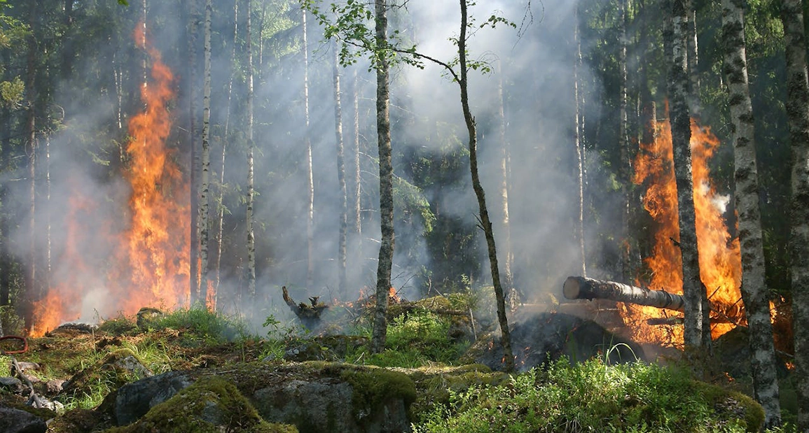
This project investigates how artificial intelligence can support environmental sustainability and risk preparedness. The goal is to build a data-driven system that uses weather, satellite, and vegetation information to help predict areas at higher risk of environmental hazards, such as wildfires—empowering better planning and emergency response strategies.
What tasks will learners need to complete to achieve the project goal?
- Collect and prepare environmental datasets, including satellite imagery, vegetation, and weather data.
- Build a deep learning model to predict vegetation types and generate segmentation masks for the identified areas in satellite imagery.
- Build scripts to analyze geographic patterns and vegetation indicators.
- Integrate multiple data sources to support predictive modeling workflows.
- Assist in validating AI models using historical event data.
- Help develop dashboards that visualize trends and risk levels across regions.
These activities introduce learners to geospatial analysis, environmental AI, and predictive modeling.
How will you support learners in completing the project?
Learners will be supported by mentors experienced in geospatial AI and applied machine learning. The project offers structured roadmaps, collaborative tools, and weekly review checkpoints. This ensures that participants gain end-to-end experience in AI model development—from data preparation to actionable insights for environmental resilience.